



Login-less comments on this static site
Commenting here costs no account, no email and no confirmation link: you get a random animal avatar, and the comment becomes a public JSON file served straight from S3.
In June 2019, my friend Jonas and I hiked the first 12 stages of Corsica’s GR20 from Calenzana to Col de Verde — 144 kilometers and about 9,600 meters of elevation gain, often called one of Europe’s toughest long-distance trails. We found out why: a knee injury on day two, a solo scramble to the summit of Monte Cinto that I’m still not entirely sure was on the actual trail, and a night at altitude so cold we broke camp at 5am just to warm up. I’ll go over the route, the climb up Monte Cinto, the coldest morning, and the gear that got us through it.
Before the play-by-play, here’s a two-minute cut of the trip in motion:
We flew into Corsica via Bastia, made our way to Calvi, and started the GR20 at Calenzana on June 5. We navigated with the GR20 Corsica stage guidebook rather than GPS, to save battery — invaluable for its stage descriptions, water points, and easy/medium/hard variants per section.
| Stages hiked | 1–12 of 16 (Calenzana → Col de Verde) |
| Distance | 144 km |
| Elevation gain | ~9,600 m |
| Trip dates | June 3–24, 2019 |
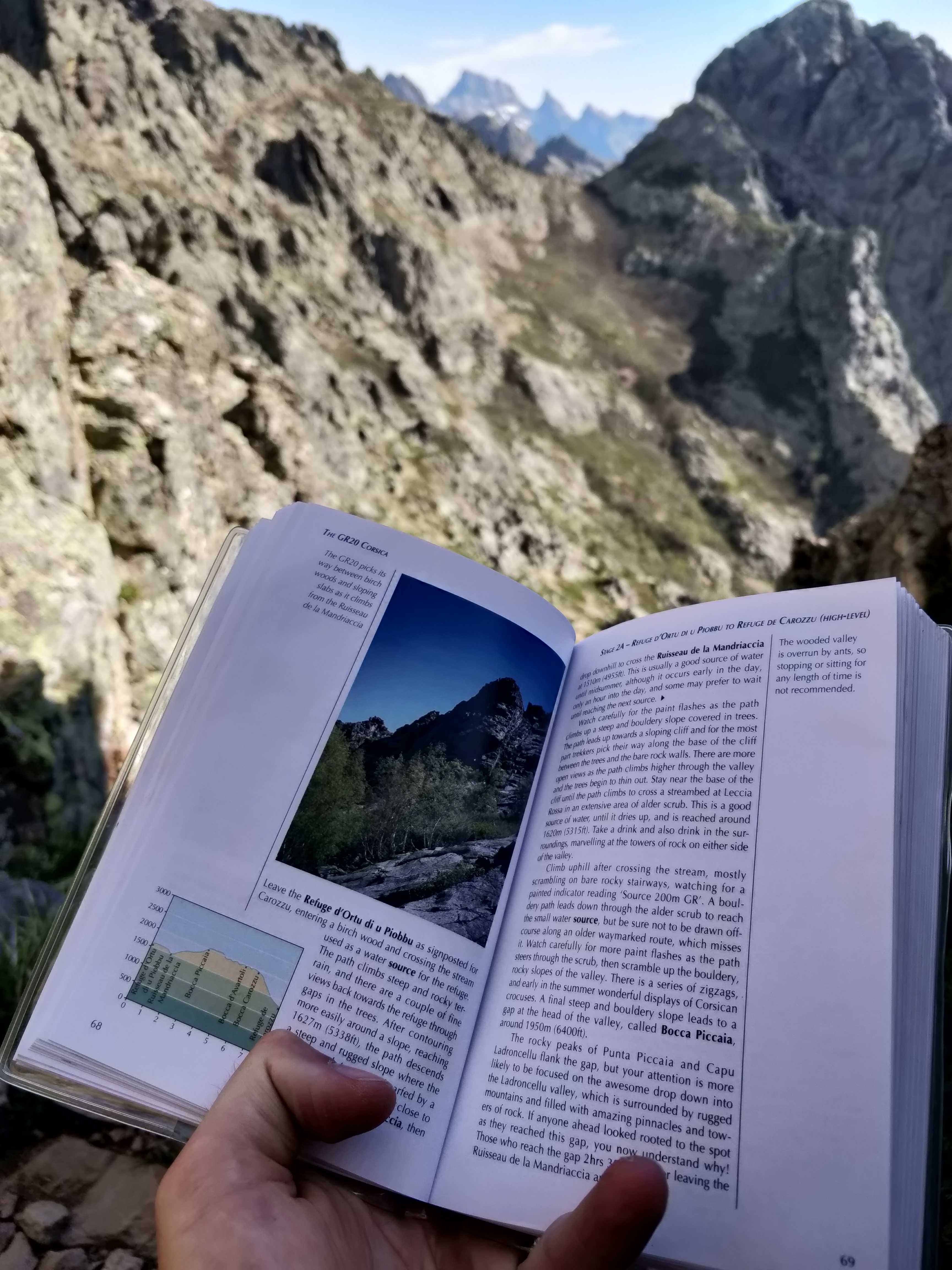
Legs fresh and mostly climbing, the first day felt easy — deceptively so. The first stage, Calenzana to Ortu di u Piobbu, was only 12km, and when we arrived the refuge there had burned down and stood empty. Feeling strong, we pushed on to the next stage, Ortu di u Piobbu to Carrozzu, another 8km. Two stages, 20km, on day one. In hindsight, we should have paced ourselves — we’d find out why on the descents.
The second day brought a genuinely beautiful high point: a swim in a mountain lake after a climb. It also brought the first twinge in Jonas’s knee, which only got worse on the downhills that followed. We took a rest day on June 7 to let it settle.
By June 9, Jonas’s knee wasn’t up for the next stage, the approach to Monte Cinto, Corsica’s highest point. He took the bus around; I hiked up alone, very early in the morning.
Going up was the easy part — a peak to aim for. What I was bad at was following the GR20’s painted red-and-white trail markers. I lost them repeatedly, backtracked, found them again, lost them again. No GPS, no spare phone battery, just the markers and the route book. At some point I realized I’d gone a long time without seeing one.
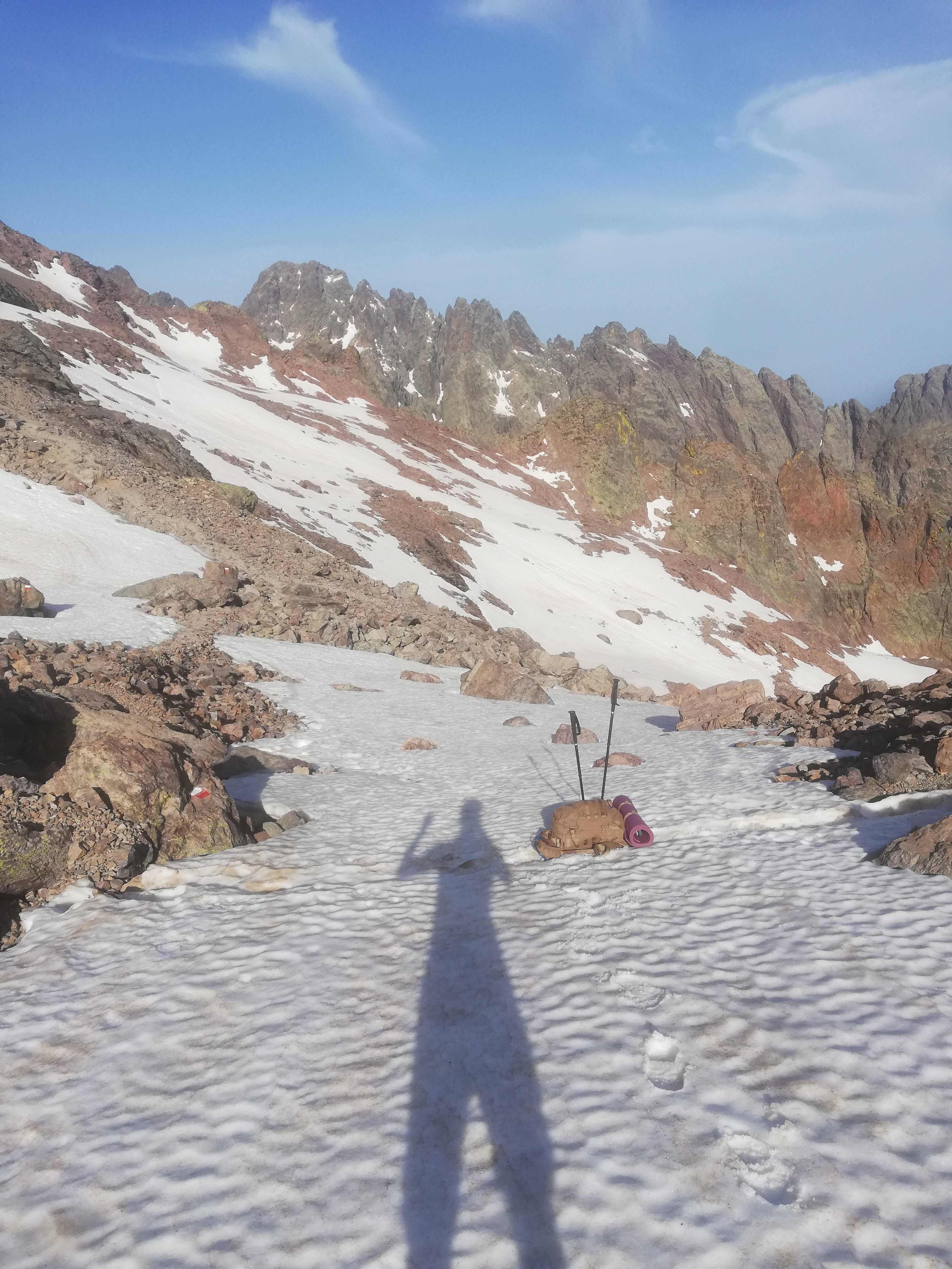
I decided I was close enough to just push for the top. That’s when it stopped being the trail: I ended up with my chest against the mountain wall, edging along the rock with a full pack on my back, acutely aware that leaning too far backward would be the last mistake I made. If I’d fallen there, nobody would have found me. Partway up, an emergency helicopter came in low over the ridge right above me, kicking up wind before it moved on — for a moment I was fully convinced I was about to be part of whatever it was responding to.
I made it onto the ridge and, still the only person up there, ran into a Scotsman out on a day hike who was considerably better at spotting the markers than I was. We climbed the rest of the way together. The summit views were great; I remember being too rattled to properly enjoy them. Coming down was uneventful, and I met back up with Jonas near Ota.
From here on we took the terrain more carefully — more rest during the day, Jonas nursing his knee, plenty of scrambling sections still to get through.
On the night of June 12 we camped high, and the temperature dropped fast once the sun went down. The ground was too rocky for tent stakes, so we tied the guy lines to rocks instead. I put on everything I’d brought — two shirts, a coat, gloves, both pairs of pants, and still climbed into my sleeping bag cold. Wind picked up. Neither of us slept much.
At 5am we gave up trying and just started hiking with all our layers still on, mostly to generate some body heat. It worked — we warmed up on the climb and stopped for breakfast at 5:40am, higher up, above a valley still full of cloud.
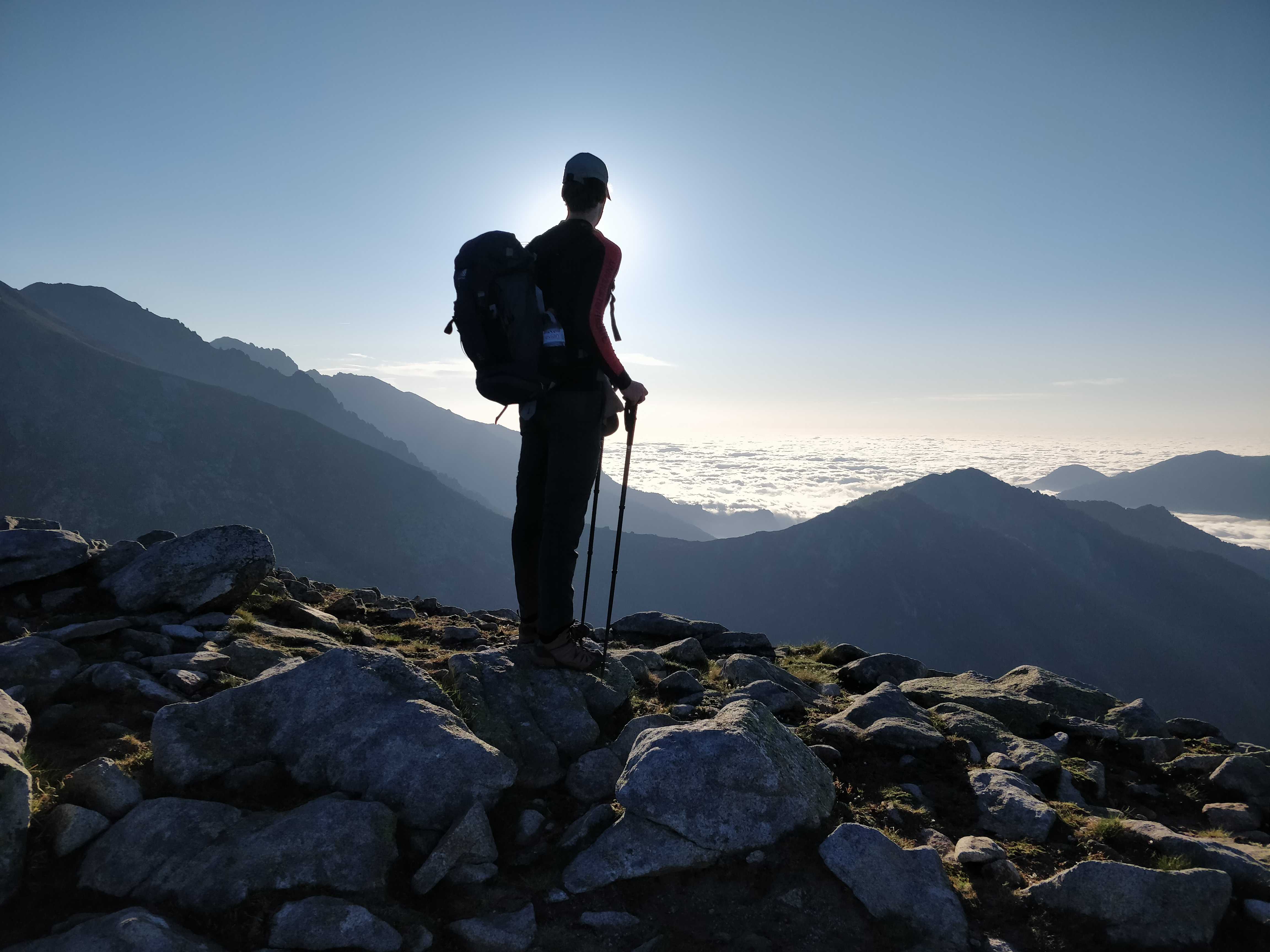
The sunrise from up there was one of the best moments of the whole trip. A brutal way to get it, but worth it.
Past the halfway point the terrain flattened out and the trail filled up with day hikers — a different crowd from the multi-day thru-hikers we’d been sharing refuges with. The wildlife stuck with us more than they did: wild boar that clearly weren’t scared of people (and clearly considered food by the locals), cows, horses, plenty of birds, salamanders, and one Corsican viper.
The second half was calmer but noticeably less exciting than the first. We stopped at Col de Verde rather than pushing on through the flatter, busier stretch to the official southern end at Conca — 12 stages felt like the right place to call it.
We spent our last days on Corsica around Ajaccio: beautiful churches, time by the sea, and a practical decision to buy a change of clothes locally rather than keep carrying anything nicer than hiking gear for three weeks. Smart move.
The night before our flight out we wild-camped near the airport rather than pay for a hotel room for a few hours — only to find out the terminal closes overnight, which we had not accounted for, and had to hike in early to make our flight.
The FlixBus ride home from Paris was its own ordeal: a Europe-wide heat wave, and the bus’s air conditioning broken the entire way. Two ice cream stops were the only mercy. Sitting bolt upright for hours with barely a trickle of air from the ceiling vents was, honestly, close to as tough as anything on the trail.
Packing light mattered more here than on any trip I’d done before. What worked, and what I’d change: